Yishun Dam Has a Park Connector Now. Here’s Where the Shared Path Goes.
If your old Yishun Dam route depended on following the road, the map has changed. NParks opened a park connector across the dam in February 2026. It’s useful to know where the shared path actually ends, especially if you’re linking it to a longer ride.
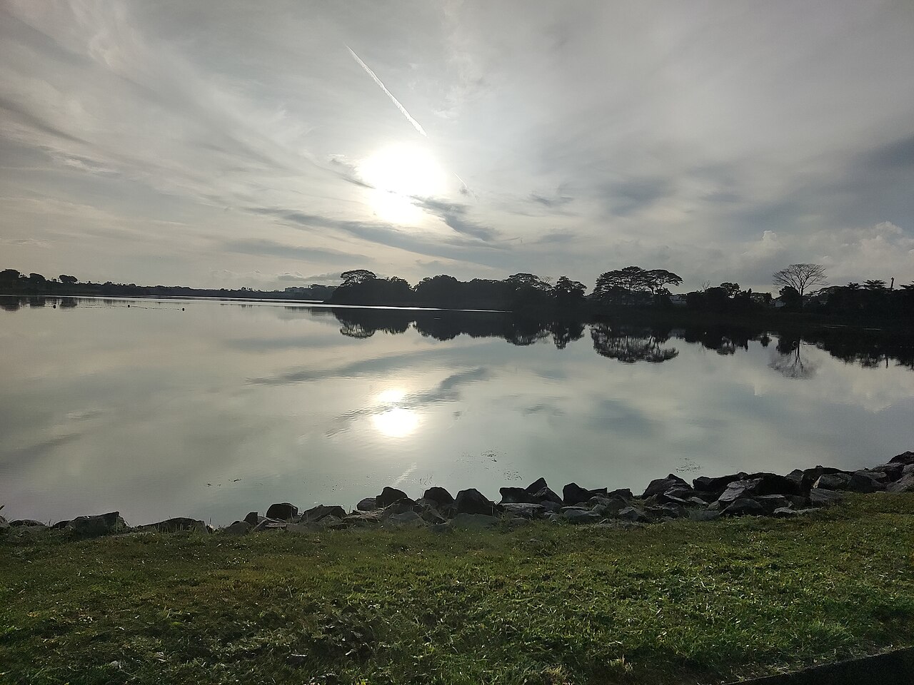
Photo: MardianaAlias / Wikimedia Commons, CC BY-SA 4.0. Resized from the original.
Find both ends before setting off
The official shared-path listing calls it Yishun Dam Park Connector and puts it at about 1.6km. It starts near Yishun Street 44, runs along Yishun Avenue 8 and Yishun Avenue 1, and ends where Yishun Avenue 1 meets Seletar West Link. Use these road names to orient yourself and follow the signed shared path.
Keep the reservoir park as a separate stop
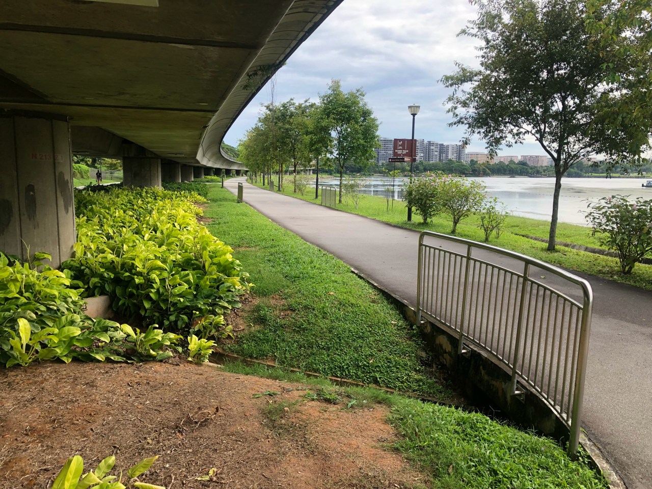
Lower Seletar Reservoir Park is a different destination. It’s a good place to sit by the water if that’s the part you’re after, and NParks lists a Heritage Bridge there. Don’t treat a photo of the park footpath as turn-by-turn navigation for the dam connector.
Let the path tell you how far to go
For a short outing, walk the dam section and turn back before joining unfamiliar roads. If you’re riding onward, check NParks’ connector notices and map first. This section is shared with pedestrians, so slow down when it gets busy and stop clear of the through-path for a photo.