A Stretch of the Rail Corridor South Is Closed. Here’s Where to Turn Off.
The Rail Corridor still makes a good walk, but don’t draw an uninterrupted line through the south on your map. The stretch between Henderson Road and Spooner Road is shut for trail works. The official detour uses public streets and paths, not another section of the old railway bed.
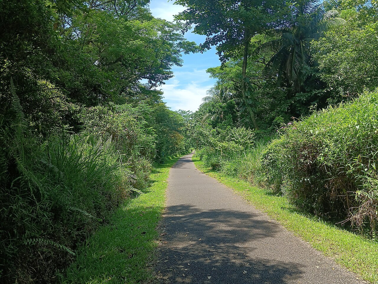
Photo: VoicefulBread66 / Wikimedia Commons, CC BY-SA 4.0. Resized from the original.
Know where the closure starts and ends
NParks lists the affected section as Henderson Road to Spooner Road, including the part by Block 138 Jalan Bukit Merah. Plan to leave the corridor before the signed closure. The whole affected stretch is shut, not just one half of the trail.
Keep Jalan Kilang Barat on the open side of your map
The earlier phase, between Jalan Kilang Barat and Henderson Road, reopened on 2 March 2026. That reopening does not include the stretch towards Spooner Road. If you just want a greenery walk, consider an out-and-back on the open side instead of taking the full detour.
Follow the street detour, not an old route screenshot
NParks provides a designated alternate walking and cycling route in its closure FAQ and says there are wayfinding signs on site. Save the official map before leaving and allow extra time for public-road crossings. Do not follow another rider or runner inside the works boundary.
Treat 31 July 2027 as the target, not a booked reopening
NParks’ published expected completion for the second phase is 31 July 2027. Check the current notice before a group ride or longer end-to-end walk. People who only want the old railway station experience can use our short Bukit Timah Railway Station outing instead.