Old Punggol Road Is a Walking Trail Now. Don’t Count on the Full Route Yet.
The old-road walk near Punggol Coast MRT is open, but it isn’t yet a confirmed through-route to the coast. The part you can plan on is already worth a short outing: a recreated old bus stop and a stretch of Punggol that still follows the contours of the old road.
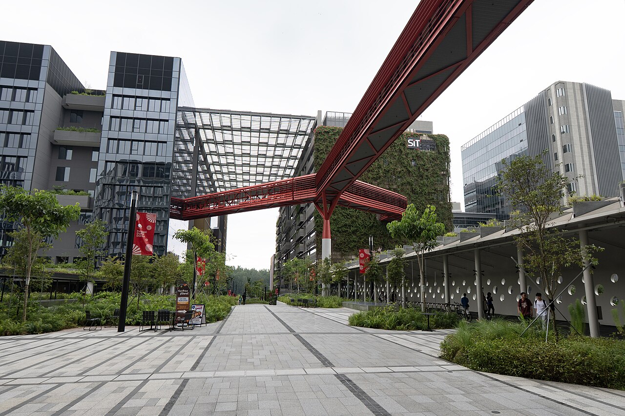
Photo: ScribblingGeek / Wikimedia Commons, CC BY-SA 4.0. Resized from the original.
Plan for the first 400 metres
NParks opened the first 400m from Punggol North Avenue to Campus Boulevard in August 2025. On that stretch, look for the recreated bus stop and heritage signs about the old settlement and farming district. The larger plan is 1.3km, not the distance visitors should assume is fully open today.
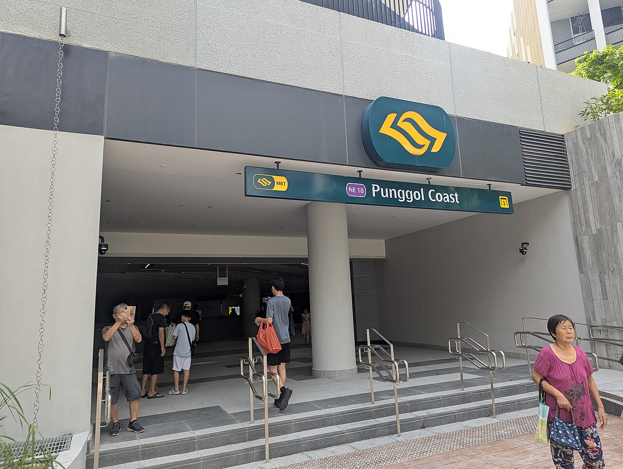
Start at Punggol Coast, not Punggol MRT
The closest station on the NParks listing is Punggol Coast MRT; use the official trail map from there. If you’re driving, the nearest parking NParks lists is Punggol Coast Mall, with charges. The trail is open 24 hours, but go by day to read the signs and see the uneven sections clearly.
Check Phase 2 before planning a through-walk
NParks lists Phase 2 as expected by the end of 2026, not as open. Turn back at current signs or choose a separately mapped waterfront route. The trail is listed as wheelchair-accessible with assistance advised due to the terrain; grass mounds and stepping stones are not suitable.