Springleaf Nature Park: A Short Walk from the MRT
Springleaf is for the “let’s get outside for a bit” kind of day. The six-hectare nature park makes a small riverside outing, with a 550m walk from Springleaf MRT before you reach it.
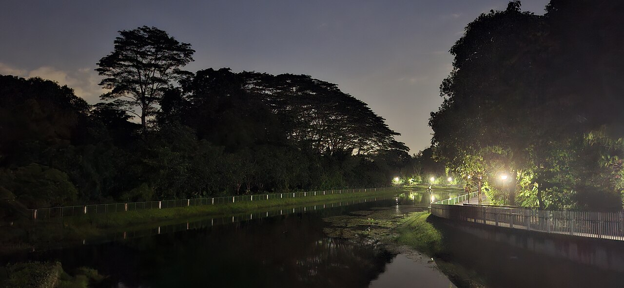
Photo: BenTanXiaoMing / Wikimedia Commons (CC BY-SA 4.0)
Getting there from Springleaf MRT
NParks puts the park at Nee Soon Road and Upper Thomson Road. Its directions describe a 550m walk along Upper Thomson Road, passing the Shell petrol station. Follow the pavement and crossings to the park entrance.
That is roughly 1.1km of station approach for the return trip, before any walking inside. If you are meeting someone, send the park pin as well as the station name. Parking charges apply; NParks lists 21 car spaces and one accessible space.
What to do once you arrive
Keep this one simple: follow the designated riverside path, stop for the water and greenery, then head back when you are ready. Walking, jogging and cycling are listed activities. This is a compact nature break, not a long forest trek with a summit at the end.
We would pair it with a meal around Upper Thomson rather than trying to stretch it into a half-day hike. Choose the restaurant separately and check its opening hours before leaving the station.
Want a longer waterside walk? The adjoining Springleaf Park Connector runs 1.2km between Upper Thomson Road and Lentor Avenue. Treat that as an optional extension, separate from the small nature-park visit.
A few useful details, not a packing expedition
The park is listed as open 24 hours and wheelchair accessible. For a first visit, go in daylight; check the station-to-park approach separately if you need a step-free route. Bring water and stay on the designated paths. Fishing is not permitted.
The photograph here shows nearby Springleaf Park Connector in June 2026, not a current view of the nature park interior. NParks directions and current notices · More Singapore outing guides
Photo dates and credits
The nearby Springleaf Park Connector beside the water at night, not a nature-park trail. Photographed 20 June 2026. Archive image, not a live view. Source thumbnail; no edits. BenTanXiaoMing / Wikimedia Commons, CC BY-SA 4.0. Original photograph · CC BY-SA 4.0.
Good to know
· Count the 550m station approach in both directions.
· Keep this a small riverside visit rather than a multi-park hike.